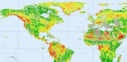

Earth observation satellites have completely mapped the entire land surface of Earth for the first time in a German Aerospace Center (DLR) project designed to create the world’s first single-source, high-precision, 3D digital-elevation model of...
Get Started for FREE
Sign up with Facebook Sign up with X
I don't have a Facebook or a X account


 Your new post is loading...
 Your new post is loading...
Your new post is loading...
Earth observation satellites have completely mapped the entire land surface of Earth for the first time in a German Aerospace Center (DLR) project designed to create the world’s first single-source, high-precision, 3D digital-elevation model of... 
No comment yet.
Sign up to comment
|